Top Articles
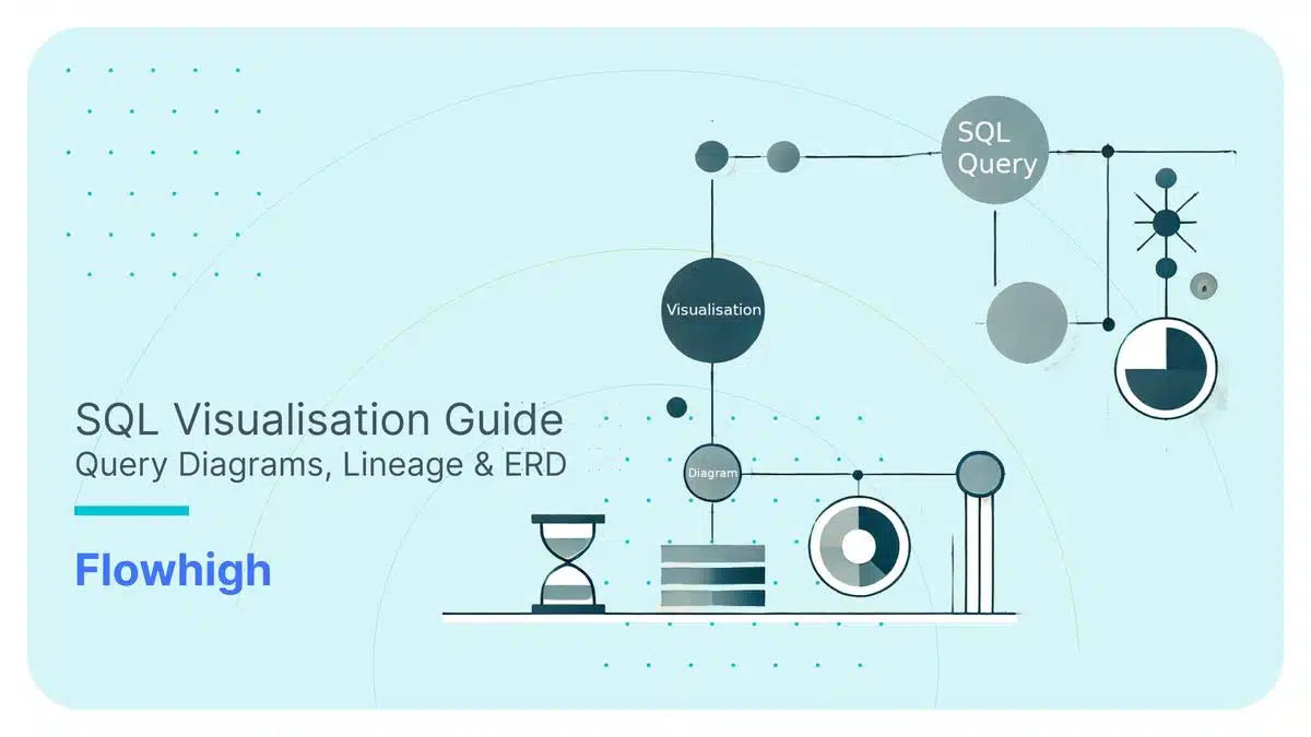
SQL Visualisation Guide – Query Diagrams, Lineage & ERD
Have you ever inherited the SQL codebase from someone else where it is in a “bit of a mess”? 😁 Sound familiar? Most data engineers and SQL developers have been there including myself—staring at a spaghetti-like web of queries, trying to untangle a chaotic SQL codebase. It’s a common nightmare. Traditionally, you had to fight …
SQL,
SQL Challenge: Tackling the Island Problem in Time Series Data
Jump into our SQL Challenge! Today, we're exploring customer loyalty trends. Are you prepared to show off your SQL skills? About the quiz In this SQL pop quiz, we're challenging…
XML,